Large Acreage Property Overlooking Flathead Lake
Bierney Creek Road, Lot#WP001, Lakeside, MT | Lat/Lng: 48.0250, -114.2656
$6,450,000
440.37 ac.
12/01/2022
FOR SALE
Description
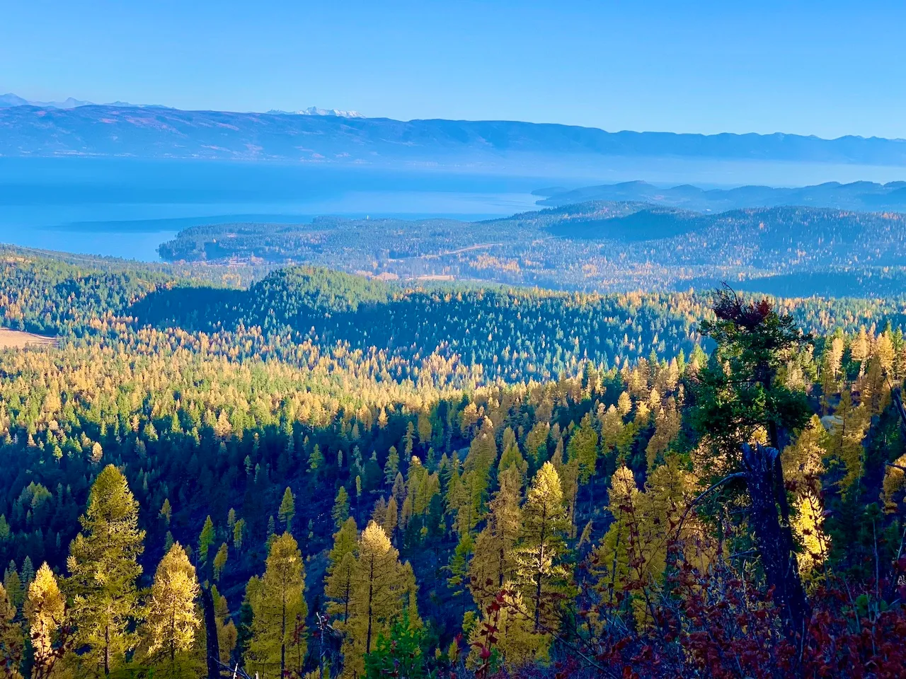
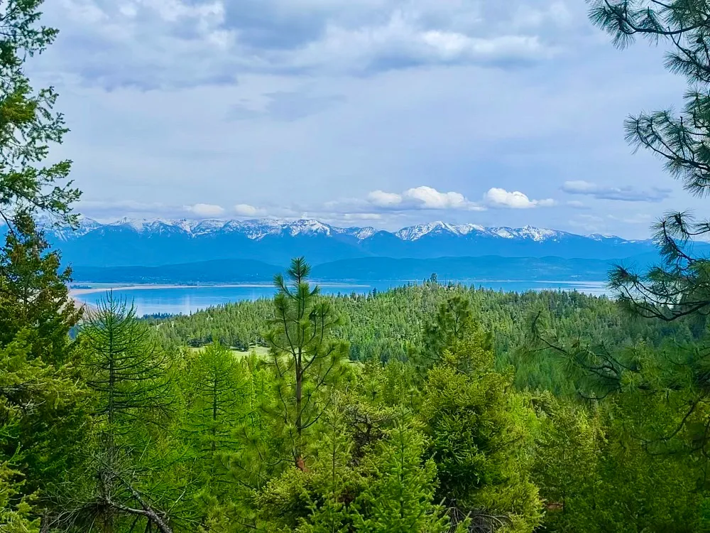
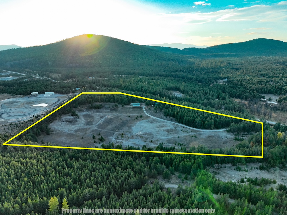
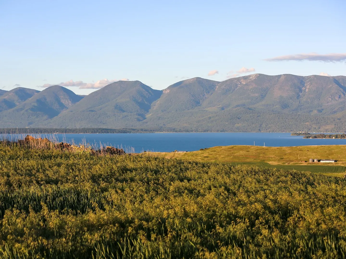
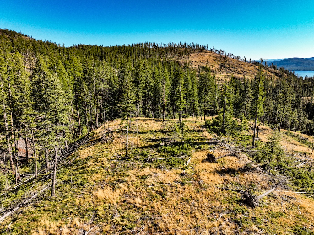
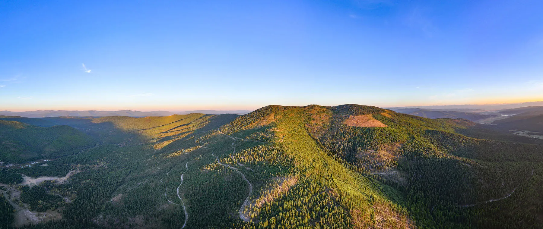
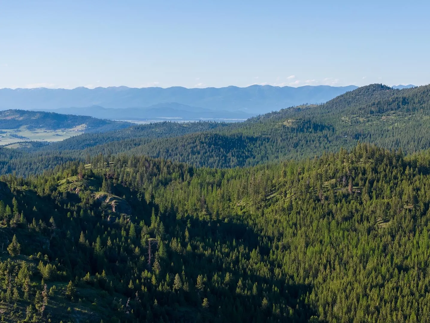
This is one of the last large acreage privately owned tracts in the Flathead Valley that overlooks the lake. The sun rises each morning over the Swan Mountains above Flathead Lake - radiating a colorful live show as the fog lifts above the snow-capped mountains. Many of the premier home sites on this tract feature a spectacular east-facing view – perfectly showcasing these epic Montana sunrises. See for yourself.The property is above the town of Lakeside (pop. ~2700), with a travel distance of approximately 1.6 miles from I-93 to the main entrance. It has great private road access, no through roads, and an interior road infrastructure comprised of former logging roads spanning almost 3 miles. It borders public land to the west (Flathead National Forest) and offers tranquility, seclusion, and privacy above a small lakefront town. Glacier International Airport is a short 20-minute drive.In terms of amenities, the local area has much to offer. Flathead Lake is 197 square miles and is the 79th largest natural freshwater lakes in the world. It features gorgeous views in every direction, endless recreational boating opportunities, and world-class fishing for lake trout, whitefish, northern pike, and perch. Glacier National Park, the Bob Marshall Wilderness Complex, Wild Horse Island, and Whitefish Ski Resort are part of a long list of northwest Montana destinations that make this area special. Between Whitefish, Bigfork, and Kalispell – take your pick of fine-dining restaurants, art studios, theatres, waterfront bars, or rodeo events.The terrain on this property is very diverse and usable – currently featuring stands of ponderosa pine, lodgepole pine, and douglas fir of varying age and marketability. Generally speaking for its location, the topography is gently sloping and flat in many areas, with steep drainages and hillsides on the southwest corner, south central border, and western boundary. Although this property has the potential to be suitable for a variety of land development applications, the ideal land uses would be the development of a premier ranch, the development of multiple “mini” ranches/homesteads, or the development of large, premier home-building lots. Refer to the attached theoretical subdivision map (not an approved platt) that showcases proposed premium lots ranging in size from 17 to 86 acres – each with at least one premier home building location. This property is currently unzoned.Depending on the buyers' standards, at least seven easily identifiable flat areas are topographically suitable for pasture/field development. Approximately 85+ acres could be converted into a fenced pasture with a mountain backdrop for ranching and equestrian applications. The flat areas could also be suitable for developing roping arenas, outbuildings, guest houses, employee cabins, etc.Access throughout the property's interior is excellent - suitable for travel by SUV in good weather conditions. The easternmost approximately 3-acre parcel was created to maintain permanent access to the property. There is a recorded permanent easement connecting the end of this parcel to Emils Crest Road. This entrance parcel is approximately 1300’ long – about half of which is also used by the neighbor to access their home on the north side of this small parcel. The entrance to the approximately 400-acre tract is gated, fenced, and locked. There is a secondary access point and gate off Blacktail road, but this access point is not currently maintained or suitable for SUV travel.A buried electric transformer has been constructed at the entrance to the property, but there is neighboring electricity available in many neighboring locations. With well logs available from surrounding tracts, water wells and septic installation are not anticipated as a building concern. Depending on elevation, the static water levels range from approximately 130’ – 440’. The production rates of surrounding wells range from 12 – 40 GPM based on publicly available well logs.This property borders 480 acres of Flathead National Forest (public land) to the west that encompasses Baldy Mountain (elevation 4954’). Further to the west is a large section of the National Forest around Blacktail Mountain open to hiking, hunting, and public recreation. The habitat and terrain on the property are currently supporting a healthy population of whitetail deer, grouse, and turkey. Elk also frequent the property throughout the year and the occasional black bear and mountain lion. For the outdoorsman, there’s 365 days’ worth of enjoyment in this part of Montana. Take your pick of epic trout streams full of browns and rainbows, alpine lakes with grayling and cutthroat trout, or lake fishing for giant, hook-jawed lake trout. The whitetail, grouse, turkey, and bear hunting on this property could be excellent through good habitat management practices.Surveys were completed for portions of the property and can be found in the attachments. A 24-hour notice is required for appointments, and all showings must be performed by a real estate professional. No one is permitted on the property without scheduling an appointment with the listing agent. Mineral rights are not owned by the seller and do not convey with the sale.Contact the listing agent for more information, additional property videos, or documentation.
Property Features:
- One of the last large acreage privately owned land tracts overlooking Flathead Lake
- Overlooks Flathead Lake and Swan Mountain Range
- East-facing views of sunrise over Flathead Lake
- Excellent Road Access: 1.6 miles to I-93 in Lakeside
- Interior Road Infrastructure
- Gated entrance
- Electric available
- Borders Public Land (Flathead National Forest)
- Development Potential: 10+ Premier Large Lots (17-86 acres; reference theoretical dev attach.)
- Equestrian potential
- Ranch potential
- 86+/- acres of flat/gently sloping acreage suitable for pasture development
- Multiple premium building sites suitable for homes, outbuildings, arenas, etc.
- Glacier National Park (one hour drive)
- Whitefish Mountain Ski Resort (51 min drive)
- Bigfork shops and fine dining (26 min drive)
- Flathead Lake fishing and boating
- Wild Horse Island (18 min drive)
- Trophy Whitetail deer management potential
- Hunting on property for whitetail deer, turkeys, grouse, elk, and black bears
- Excellent public hunting opportunities
- Located in Hunting District 120: General Deer and Elk Units
- Is it in an HOA: No
- Are there covenants and restrictions: No
- Min/Max Elevation: 3,360’/4,400’
- Survey: ~3-acre parcel and western boundary surveyed (1993 and 2006)
- Taxes: Currently approx. $601
- Water Sources: water well or spring required
- Nearest Walmart: 28 minutes to Walmart Supercenter (Kalispell)
- Nearest Grocery Store: Blacktail Family Foods (2.6 miles)
Details
County: Flathead
Zipcode: 59922
Brokerage: Whitetail Properties
Brokerage Link: https://www.whitetailproperties.com
Other Features: BURIED ELECTRIC TRANSFORMER (1), Cabin (1), Neighbors House (12), Panoramic View (5), Parcel 1: 400 Acres (1), Parcel 2: 3.020 Acres (Access) (1), Parcel 3: 37.350 Acres (2), Photo Point (25), Road/Trail (5), Tour (3), Video Point (1)
Nearby Listings


