Carroll Creek Ranch
Como, TX | Lat/Lng: 33.0610, -95.4720
$650,074
112.86 ac.
05/09/2023
AVAILABLE
Description
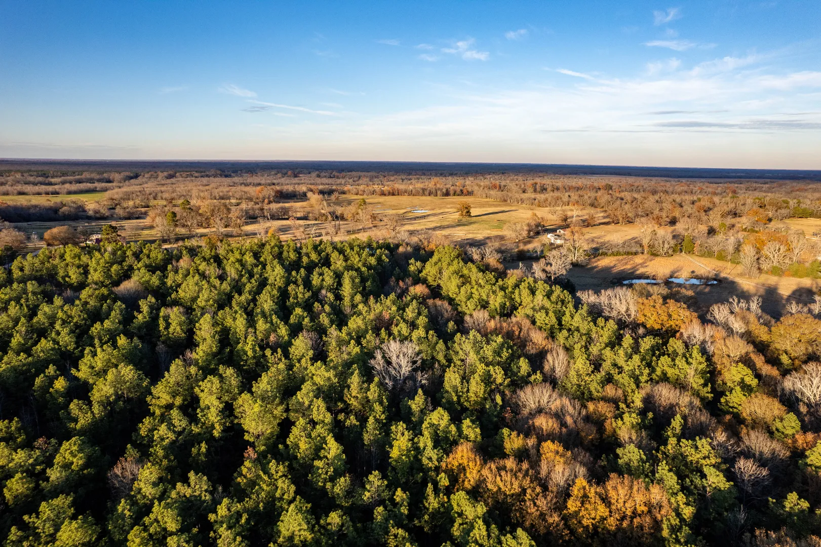
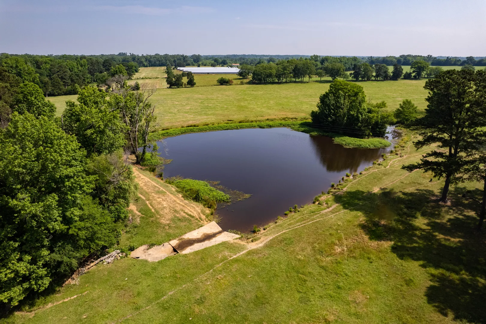
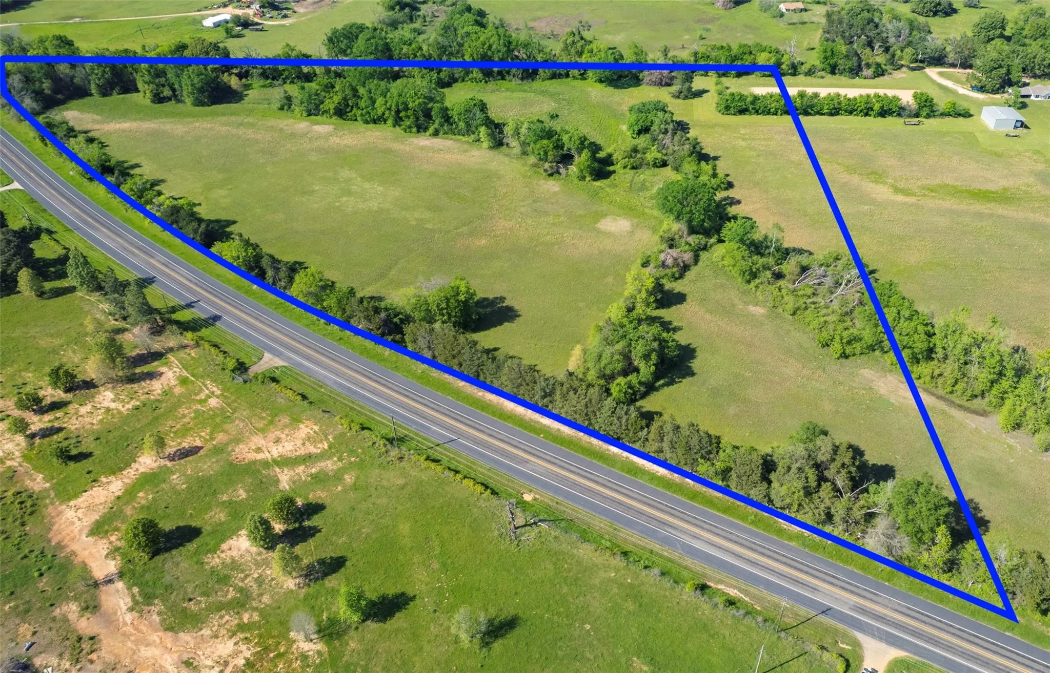
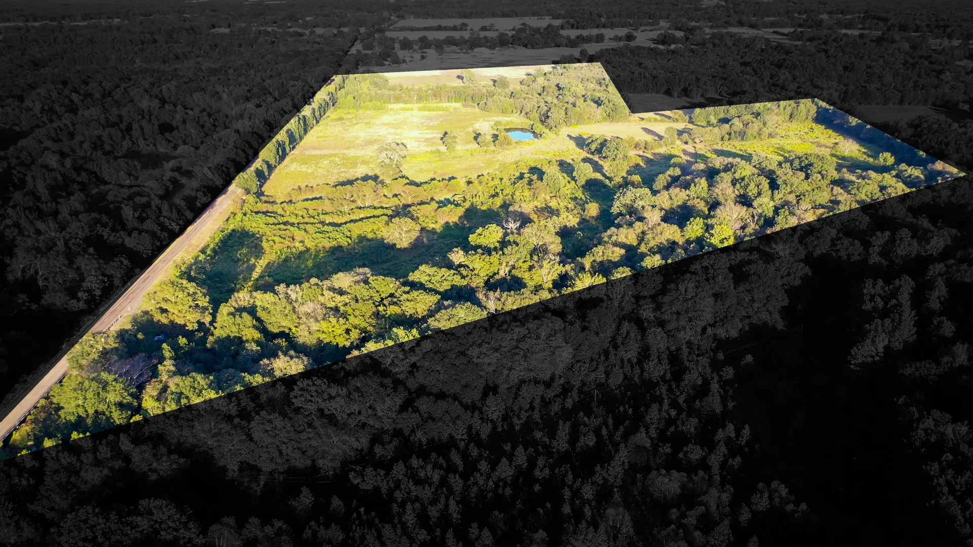
Property Description: Carroll Creek Ranch offers a unique opportunity to own 112.86+/- acres and lease an additional 165.0+/- acres from the Sabine River Authority located just off the banks of the famous Lake Fork. The wooded recreational ranch is located on the quiet blacktop CR 2428 just ~94 miles NE of downtown Dallas and ~10 minutes from the quaint town of Yantis, TX. The sandy bottom Carroll Creek meanders north to south through the middle of the property and is one of three main feeder creeks flowing into the NE finger of Lake Fork. The ranch has been utilized for recreational hunting, trail riding, timber production, investment and general outdoor enjoyment, less than 1/2 mile north of Lake Fork!
Additional Leased Land: Per the Sabine River Authority lease permit there is an additional 165+/- acres of leased land that is renewable on five-year lease terms. This land can be used for trail riding, general enjoyment, additional fishing opportunities and insures the privacy of the ranch to the south. To our knowledge, hunting is not allowed on the SRA land but could be considered a "personal" wildlife sanctuary where wildlife has the opportunity to flourish.
History: Following the annexation of Texas to the United States, 2,633 acres were granted to Oscar Engledow from the State of Texas on Sep. 7, 1847. Three years later, James Harper Starr began purchasing pieces of the Engledow Ranch including what is now Carroll Creek Ranch. Since 1850, the Starr/McGee family has owned and operated this property, hunting on and around the land that would become Lake Fork Reservoir and the current day Carroll Creek Ranch.
Location: Located on the Wood and Hopkins County line immediately north of Lake Fork, the main road and gate to Carroll Creek Ranch fronts CR 2428 approximately 10 minutes east of Yantis, Texas, and ~94 miles or 1.5 hour drive northeast of downtown Dallas, Texas.
Lake Fork Reservoir: Lake Fork Creek rises in the southeastern corner of Hunt County and flows in an easterly direction for 78 miles to its confluence with the Sabine River eight miles southeast of Mineola. The stream drains an area of approximately 685 square miles in Wood, Rains, and Hopkins Counties in the uppermost northeast portion of the Sabine River Basin.
The reservoir, owned by theSabine River Authorityof Texas, was constructed to conserve water for municipal and industrial use and funded through deals with Dallas and Longview for the future procurement of water from the reservoir.
Lake Fork Dam: The rolled earth fill dam is just over 12,400 feet long. The reservoir's storage capacity at the conservation pool level of 403 feet above mean sea level is 675,819 acre-feet, the conservation surface area is 27,690 acres and the drainage area for the dam is over 490 square miles above the reservoirs' dam.
Terrain: Topography on the Carroll Creek Ranch is characterized by East Texas rolling upland hills transected by the moderately wide flat floodplain of the Carroll Creek bottoms. Elevation changes vary approximately 50-60 feet from the Carroll Creek banks that run north and south to the highest points on the property.
Tree Cover: A good mixture of pine and hardwoods are scattered throughout the property. The pine on the north and west portion of the ranch, west of Carroll Creek, have been meticulously thinned. By doing so, the sunlight to the forest floor has been opened allowing the forbs and browse to mature and expand. East of Carroll Creek is a mature hardwood forest indicative of old growth East Texas creek bottoms.
Soil: The soil composition on the tract consists primarily of deposits of the Wilcox soil groups which generally exhibit sandy surface layers with clay dominate subsoils. Soils are fertile and lend well to adding wildlife food plots.
Wildlife: Abundant tree cover, hearty browse, forbs and acorns foster an abundant Whitetail Deer population. Feral hogs, dove and other smaller game can also be found on the Carroll Creek Ranch. Duck hunting can be exceptional on Carroll Creek or from both the bank or a boat blind on Lake Fork Reservoir.
Fishing: Trophy bass fishing on the Lake Fork Reservoir is well respected in Texas. Due to fishery management efforts of the Texas Parks and Wildlife Department, who began stocking the reservoir with Florida largemouth bass in 1978, the lake is a world-renowned trophy bass haven. The current state record largemouth bass weighing 18.18 pounds was caught from Lake Fork Reservoir in January, 1992. Through 2022, over 50 percent (26/50) of the fish on the Texas Top 50 List for the largemouth bass species had been caught in Lake Fork. Large numbers of channel and blue catfish are also taken each year. Stocking history for Lake Fork is available through the Texas Parks and Wildlife Department, who most recently stocked Lake Fork Reservoir with 320,261 fingerling Florida Largemouth Bass in early 2017.
Fencing: Perimeter fencing is in fair to poor condition.
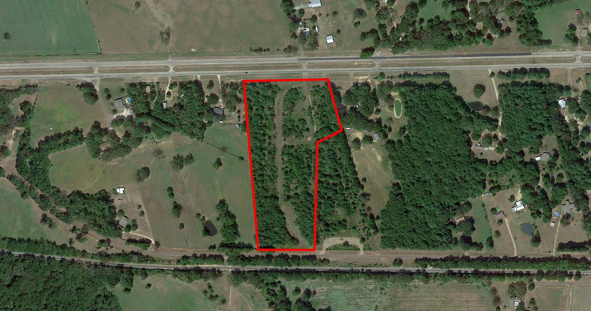
Access: Quiet blacktop CR 2428 bisects the property for about .32 miles (~1,710 ft.)
Airports: Sulphur Springs Municipal Airport is located~17 miles and ~25 minutes NW of Carroll Creek Ranch in Sulphur Springs. This publicly-owned and operated airport has two runways, both measuring 5,001' long by 75' wide.
Water: The ranch sits on top of the Carrizo-Wilcox aquifer, which can be a prolific water source for residential water wells. Additionally, the Sabine River Authority will lease water pumping rights from Lake Fork Reservoir for a fee providing an additional water resource for residential irrigation.
Electricity: Rural electricity exists at the CR just west of the entry and inside the north boundary of the ranch which is provided by Wood County Electric Cooperative.
Minerals: No minerals are available. There is one producing O&G pad site in the NW corner of the property.
Directions: From Yantis, Texas take FM 2966 east for ~4.2 miles, turn left on CR 1822 for ~1.63 miles. Take a right at CR 2428 for ~.68 miles where the property lies on both sides of the road for the next for one-third of a mile.
Easements: There is one pipeline easement running east and west on the north side of the ranch and then bends south on the east side of the ranch. The easement provides a good travel corridor for utv's and wildlife. There is one easement for a residential electric line in the NW corner of the ranch.
Taxes: With a timber exemption, the estimated property taxes in 2022 were $119.23 for Hopkins Co & $18.96 for Wood Co, TX. for an estimated total of $138.19.
Buyers & Brokers: Buyer's brokers must be present for all initial showings. Buyers should notify Listing Broker that they are represented prior to touring the property. We welcome the opportunity to work with other Brokers / Agents, but expect their full participation in any transaction.
Summary: The Carroll Creek Ranch offers a unique opportunity to purchase 112+/- acres and lease an additional 165+/- acres! The fishing, hunting, and recreational opportunities found on the property are excellent! Immediate proximity to Lake Fork, additional leased land, and excellent access make this ranch a rare find!
Asking Price: $650,074
Contact:
Cash McWhorter- Partner/Broker
469-222-4076 Mobile
cash@
Casey Berley, ALC- Broker
214-422-7253 Mobile
casey@
Details
County: Wood
Zipcode: 75431
Property Type One: Hunting Land
Property Type Two: Recreational Land
Property Type Three: Undeveloped Land
Brokerage: Hortenstine Ranch Company
Brokerage Link: https://hrcranch.com/
Other Features: Primary Road (1), Road/Trail (7), Sabine River Authority Leased Land (1), Transmission Line 1 (1)
Nearby Listings


