Beautiful Open Ground With Development, Residential And Commercial Farming Potentials
O County Road 48, Lot#WP001, Summerdale, AL | Lat/Lng: 30.5197, -87.6842
$849,000
59 ac.
09/10/2024
PENDING
Description
Final Sale Price: No price given
Listed Price: $849,000
Date Listed: 09/10/2024
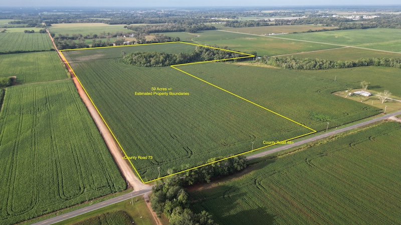
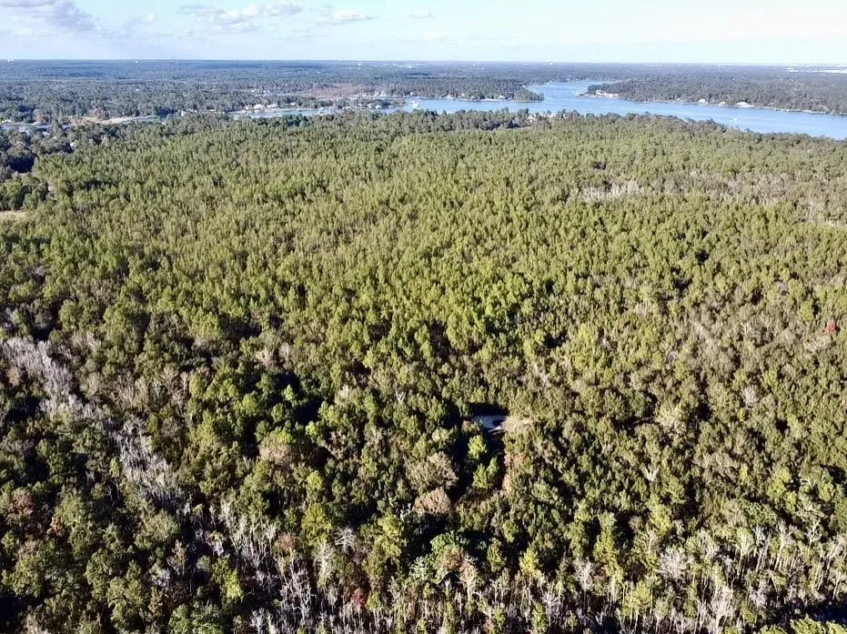
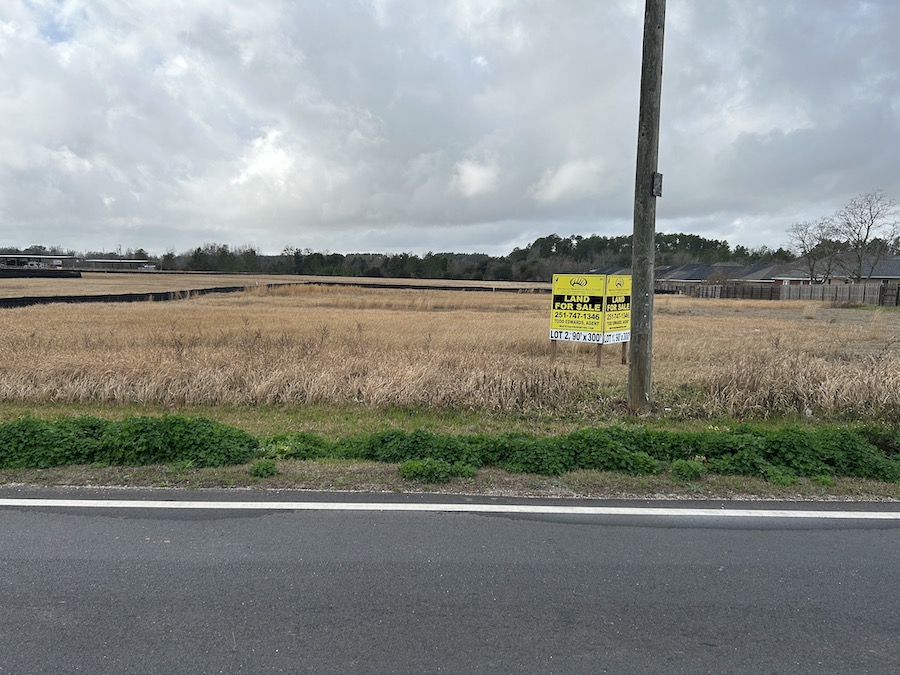
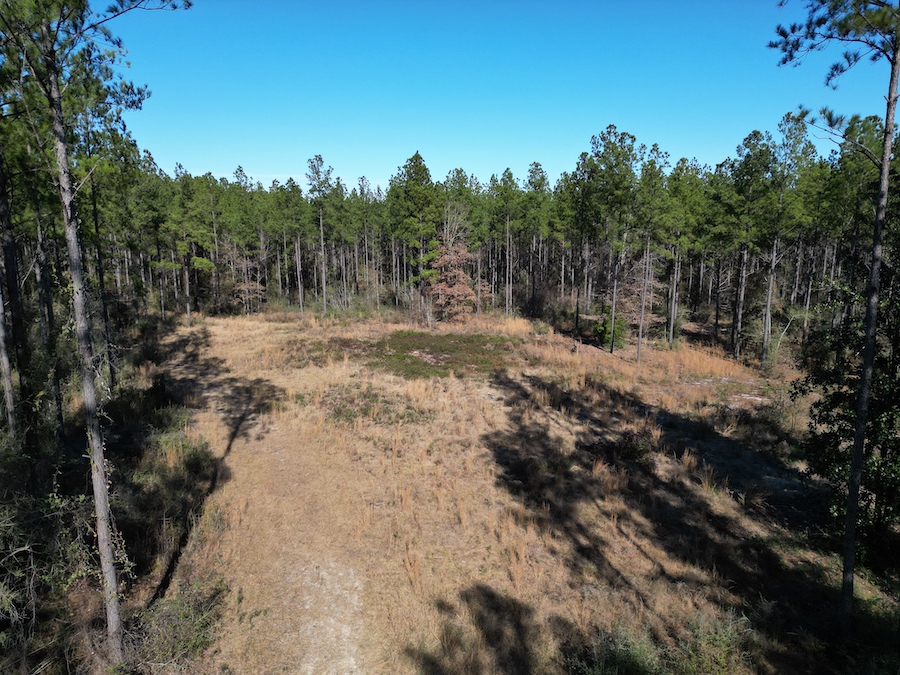
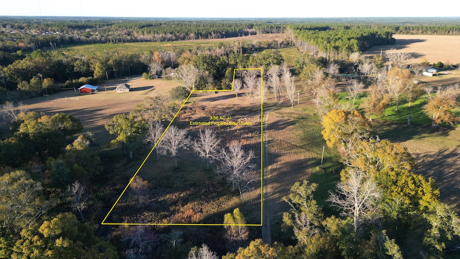
A beautiful tract of land that offers the potential for residential development, commercial uses, private residential or farming. The land is made up of an estimated 49 acres of open ground currently in row crop production with an estimated 10 acres of drain area with a mixture of timber. The property has an estimated 647 feet of paved road frontage along county road 48 on its north boundary and another estimated 2600 feet of dirt and gravel road frontage along county road 73 along its east boundary. There is power and city water along both county roads. This is an excellent area of convenience and growth, with nearby shopping centers, Walmart, Tractor Supply, and great county schools.
Property Features:
- Estimated 49 acres of open ground in row crop
- Estimated 10 acres of wooded drain area
- Residential development potential
- Commercial potential
- Private residential potential
- Farming potential
- County paved road frontage
- County gravel road frontage
- Power and water running along the county roads
Details
County: Baldwin
Zipcode: 36580
Brokerage: Whitetail Properties
Brokerage Link: https://www.whitetailproperties.com
Nearby Listings

