0FIELDS
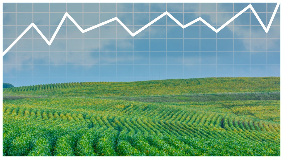
MONITOR LAND VALUES
AND PRICE TRENDS
MARKET EXPLORER
With AcreValue Market Explorer
Interested in farmland financing options? You may be eligible for a Farmer Mac loan.
Post your land listings on AcreValue.
Interested in buying or selling land?
Use your AcreValue Profile to connect with your next land opportunity.My Profile
AcreValue provides reports on the value of agricultural land in the U.S. The GIS map provides parcel boundaries, acreage and ownership information sourced from the county assessors. Our valuation model utilizes over 20 field-level and macroeconomic data variables to estimate the value of an individual plot of farmland in California, Florida, Georgia, Illinois, Indiana, Iowa, Kentucky, Michigan, Minnesota, Nebraska, North Carolina, Ohio, Oklahoma, South Carolina, South Dakota, Tennessee, and Wisconsin. Soil productivity information is sourced from the Web Soil Survey developed by the National Cooperative Soil Survey and operated by the USDA Natural Resources Conservation Service (NRCS). Crop history information is sourced from the NASS Cropland Data Layer (CDL).